Looking for design inspiration?   Browse our curated collections!

Previous Image

|

Next Image
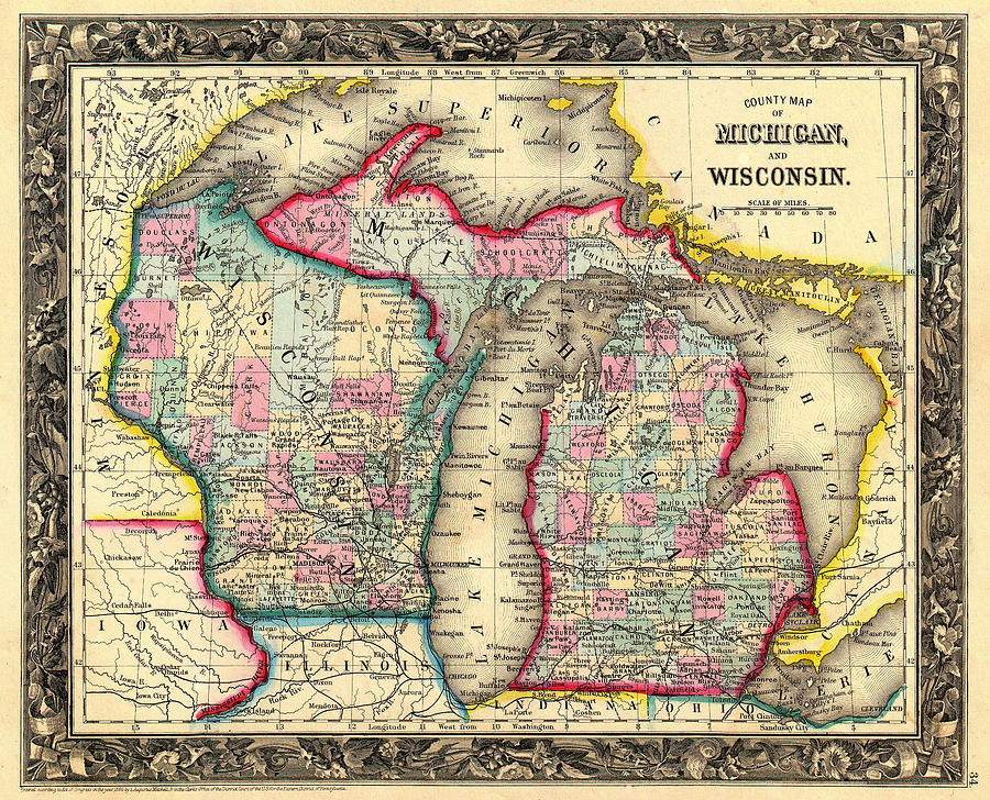
Lake Michigan Drawing - Antique Map of Michigan and Wisconsin 1860 by Mountain Dreams

Antique Map of Michigan and Wisconsin 1860 is a drawing by Mountain Dreams which was uploaded on December 23rd, 2014.

More from Mountain Dreams

View Profile

Indiana Dunes State Park by Mountain Dreams
Through the Dunes to Lake Michigan by Mountain Dreams
Cutting Through The Ice On Lake Michigan by Mountain Dreams
Path To Lake Michigan At Sunset by Mountain Dreams
Path In The Sand Dunes To Lake Michigan by Mountain Dreams
Path To Lake Michigan At Sunset #1 by Mountain Dreams
Lake Michigan Sunset #1 by Mountain Dreams
Lake Michigan Shoreline by Mountain Dreams
Path In The Sand Dunes To Lake Michigan #1 by Mountain Dreams
Path In The Sand Dunes To Lake Michigan #2 by Mountain Dreams
Lake Michigan Beauty by Mountain Dreams
Lake Michigan - Indiana Dunes State Park by Mountain Dreams
Antique French Map of the Great Lakes 1755 by Mountain Dreams
Mackinac Bridge #1 by Mountain Dreams
Milwaukee North Shore Beach Sunset by Mountain Dreams
Point Betsie On Lake Michigan by Mountain Dreams
Point Betsie On Lake Michigan #1 by Mountain Dreams
Path To Lake Michigan At Sunset #2 by Mountain Dreams
Lake Michigan Sunset by Mountain Dreams

Comments

There are no comments for Antique Map of Michigan and Wisconsin 1860.   Click here to post the first comment.

Recently Viewed

Antique Map of Michigan and Wisconsin 1860 by Mountain Dreams
Previous Image Next Image